Mikulčice, Hodonín District, South Moravian Region
Slavic stronghold of Mikulčice / early medieval power and ecclesiastical centre
(8th–9th cent. AD)

Aerial photo of the early medieval stronghold of Mikulčice-Valy; view from the south-east.
Photo J. Vandělík, Geo-cz, 2011.
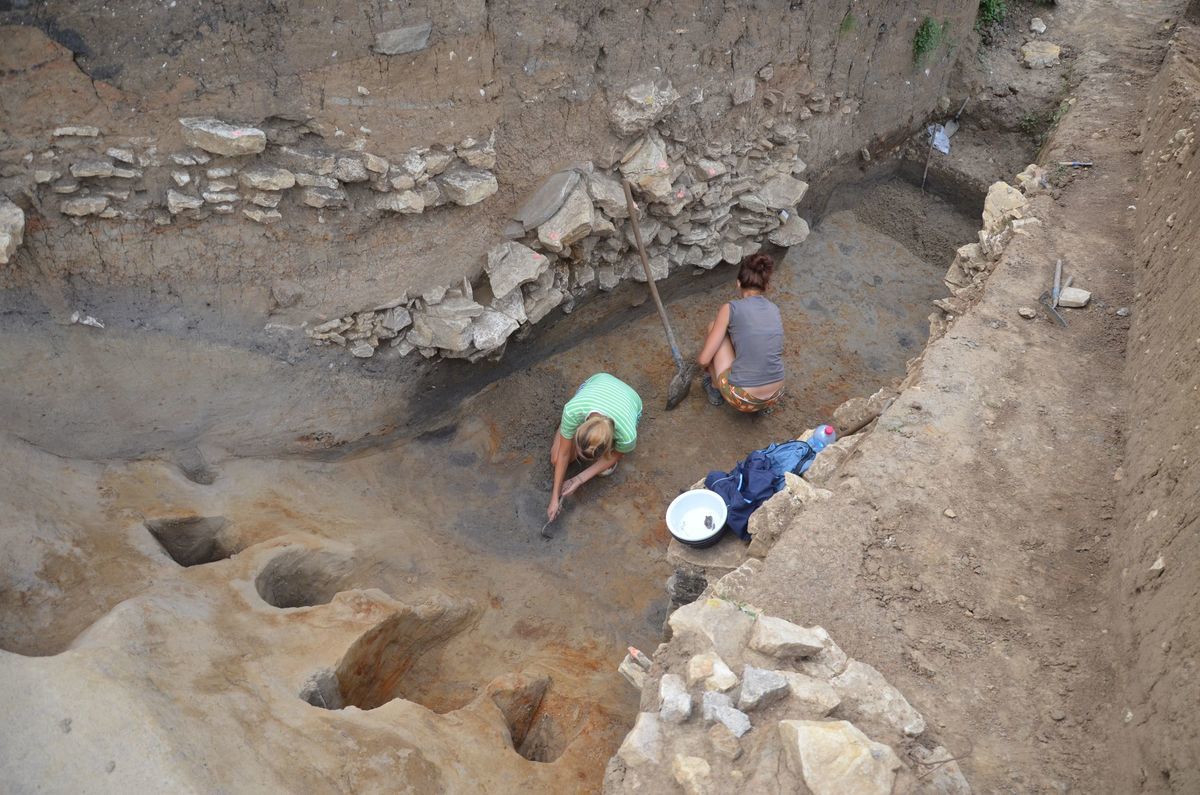
The Slavic stronghold of Mikulčice-Valy (“Mikulčice-fortification”) located in the south-east of the cadastral area of Mikulčice, immediately at the River Morava, represents an important fortified early medieval centre of power and faith. The systematic excavation started in 1954 and continues to this day. The agglomeration shows signs of an urban arrangement with the remains of a pre-Great Moravian and Great Moravian occupation covering a total area of 50 ha. The core of the stronghold spreads over an area of 10 ha and consists of a fortified acropolis and outer bailey. The most important buildings, such as the palace, a three-nave basilica and other churches, stood at the acropolis. The presence of princely nobility is witnessed by numerous magnate graves in the vast churchyards and in some cases inside the churches. There was also an outer bailey with residential quarters and a large and structured unfortified suburbium. A total of 12 churches and more than 2,500 graves have been excavated in Mikulčice. The finds point to the key role of this site in the Great Moravian period. Today, a museum and an archaeological park, which is open to visitors the whole year-round, are located directly at the archaeological site.
References: Poláček 2006; 2016; Profantová – Kavánová 2003.
Navigation point: N 48°48'15.9", E 17°05'08.5" (Slavic stronghold of Mikulčice, entrance to the museum).


Map notes: A – acropolis; B – outer bailey; C – northern suburbium; D – north-western suburbium; E – eastern suburbium; F – Kostelisko site; G – Štěpnice site; H – Těšice Forest site. Map symbols are available in the Downloads section.


Selected fulltext articles and reports for further reading. Complete bibliographical records are available in the Downloads section as the List of publications.
Poláček, L. 2016: Hradiště Mikulčice-Valy a Velká Morava. Mikulčice – průvodce II. Brno.Poláček, L. 2006: Terénní výzkum v Mikulčicích. Mikulčice – průvodce, svazek 1. Brno.Profantová, N. – Kavánová, B. 2003: Mikulčice – pohřebiště u 6. a 12. kostela. Brno.Mikulčice. Archeologické léto. https://https://www.archeologickeleto.cz/