Knížecí Pláně, Prachatice dist., South Bohemian Region
Deserted village ‘Fürstenhut’
(19th a 20th cent.)

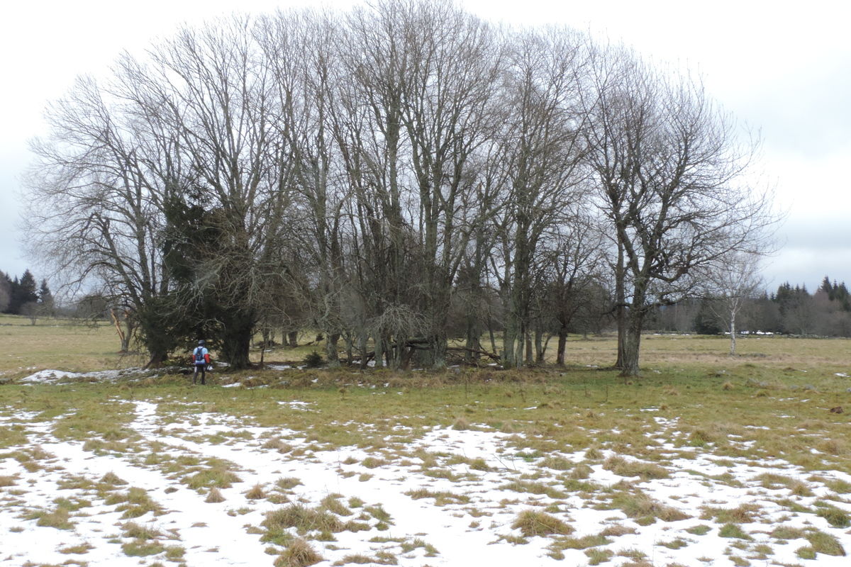
Landscape of the deserted village with field boundaries.
Photo M. Kuna, 2013.
Deserted village of ‘Fürstenhut’ in the Šumava Mts. illustrates tragic events of the modern history of Bohemia. The village was founded at the end of the 18th century as a woodcutters’ settlement. In spite of the difficult living conditions (altitude over 1000 metres), the village flourished and was soon inhabited by more than 500 people; it contained a church, graveyard, school, mill, gamekeeper´s lodge, sawmill and four pubs. Following the Second World War, German population of the village was expelled, all the buildings were levelled and the area became part of the closed border zone. Individual homesteads are not easily detectable; the graveyard has been recently reconstructed and a wooden cross erected on the place of the former church. The most attractive features in the landscape are numerous field boundaries built of huge stone boulders.
References: Beran 2005; Petráš 2006; Tabera 2011; Sankot 2012; www_Knížecí Pláně 1–2.
Navigation points: N 48°57'20.35", E 13°37'02.36".


Map notes: A – mound covering the debris of St. John the Baptist Church; B – memorial to the village men killed in both World Wars; C – vicarage; D – graveyard; E – place of the former school; F – ´Pöschl´ pub; G –separate cellar; H – ‘Kölbl’ pub; J – mill; K – the so-called Treml’s sawmill; L – place of the former gamekeeper’s lodge; M – tourist lodge ‘Hájenka’; N – place of the former frontier guards’ building from 1950s; O – old road lined with boulders; P – furrow following the Iron Curtain fence from the 1950s; Q – a direct path among in the woods witnessing for the Iron Curtain fence. ‘Stabile Cadastre map’ from 1837: 1 – forest; 2 – meadows; 3 – pastures; 4 – fields; 5 – wet land; 6 – stone houses; 7 – wooden houses; 8 – buildings added later to the map (1840s onwards); 9 – houses not registered by the Stabile Cadastre map (late 19th cent.?). Map symbols are available in the Downloads section.


Selected fulltext articles and reports for further reading. Complete bibliographical records are available in the Downloads section as the List of publications.
Archeologický atlas Čech – Knížecí Pláně