Podobora and Louky nad Olší, Karviná District, Moravian-Silesian Region
Chotěbuz-Podobora stronghold
(900 BC–11th cent. AD)

Chotěbuz-Podobora. Aerial photo of the acropolis and modern archaeological park from the south-east.
Archive of the AIB, 2009.
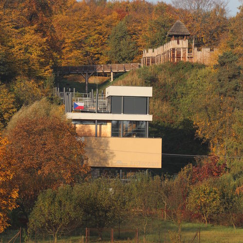
The Chotěbuz-Podobora stronghold is situated about 2 km north-east of the centre of the town of Chotěbuz, on an elevated promontory above the Olza River close to what was an important trade route. Archaeological finds from the site were first mentioned in the 19th century but no archaeological fieldwork was conducted until the 1950s. The systematic excavation started in 1978 and is still ongoing. It is a multi-cultural site settled from the Final Bronze Age (Silesian phase of the Lusatian Urnfield culture) to the Hallstatt period (Platěnice culture) and then again in the Early Middle Ages when it reached its maximum extent. The Slavic settlement can be dated from the mid-8th to the beginning of the 11th century AD. The area consists of two outer baileys and an acropolis. The fortified complex is about 1.7 ha large and about 400 metres wide. Among the finds, the dwellings and production facilities with a number of artefacts deserve particular mention. The site is occupied today by a vast archaeological park.
References: Čižmář 2004; Kouřil – Gryc 2014; 2019.
Navigation point: N 49°47'15", E 18°35'23.5" (entrance to the archaeological park).
Map notes: A – acropolis; B – gate and bridge over the ditch; C – first outer bailey; D – second outer bailey. Map symbols are available in the Downloads section.
Selected fulltext articles and reports for further reading. Complete bibliographical records are available in the Downloads section as the List of publications.
Kouřil, P. – Gryc, J. 2014: Chotěbuz-Podobora/Chotěbuz-Podobora. In: P. Kouřil (ed.): Velká Morava a počátky křesťanství/Great Moravia and the Beginnings of Christianity. Brno, 214-218, 228–232.Kouřil, P. – Gryc, J. 2019: Czech Silesia in the Early Middle Ages. Přehled výzkumů 60–62, 93–143.


