Libodřice, Kolín dist., Central Bohemian Region
Prehistoric barrow cemetery
1300–1000 BC
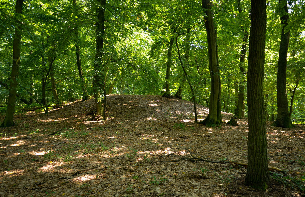
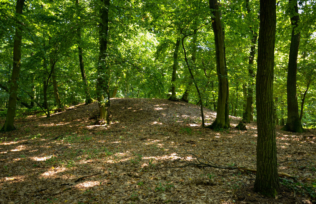
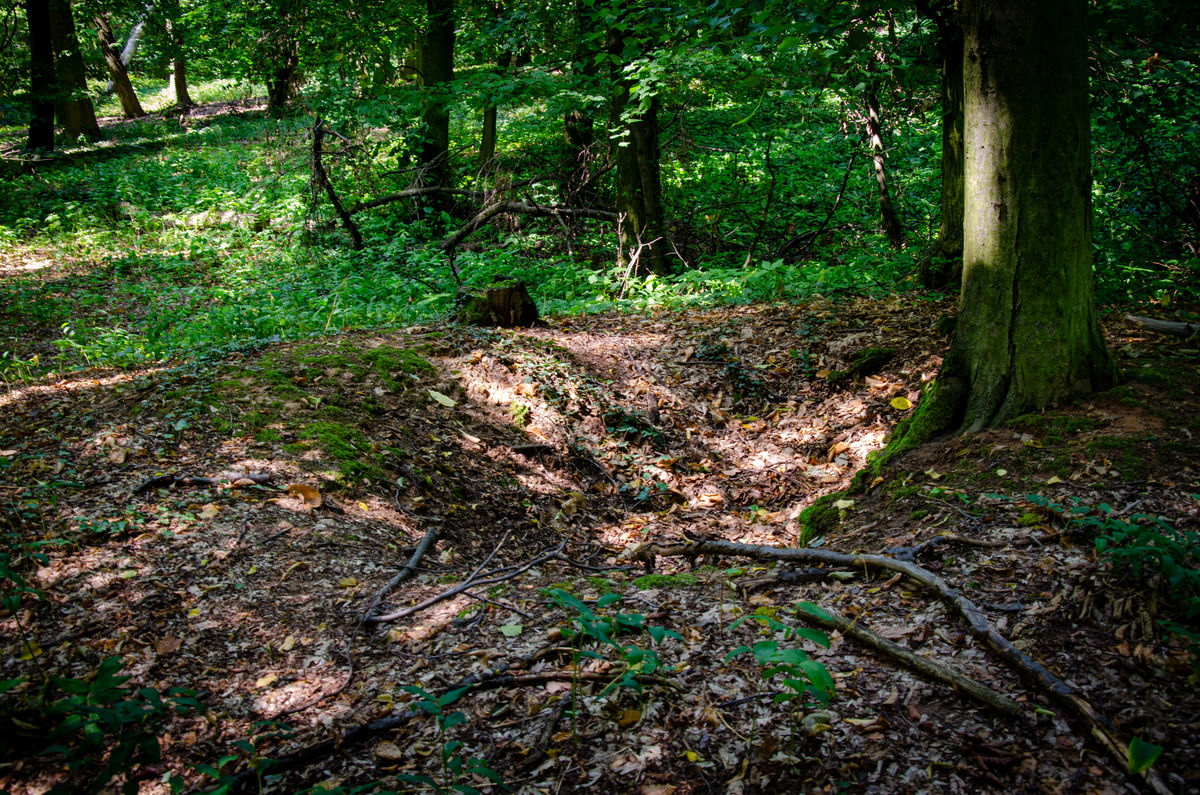
Barrows covering graves dating to the Late Bronze Age.
Photo B. Tesařová, 2026.
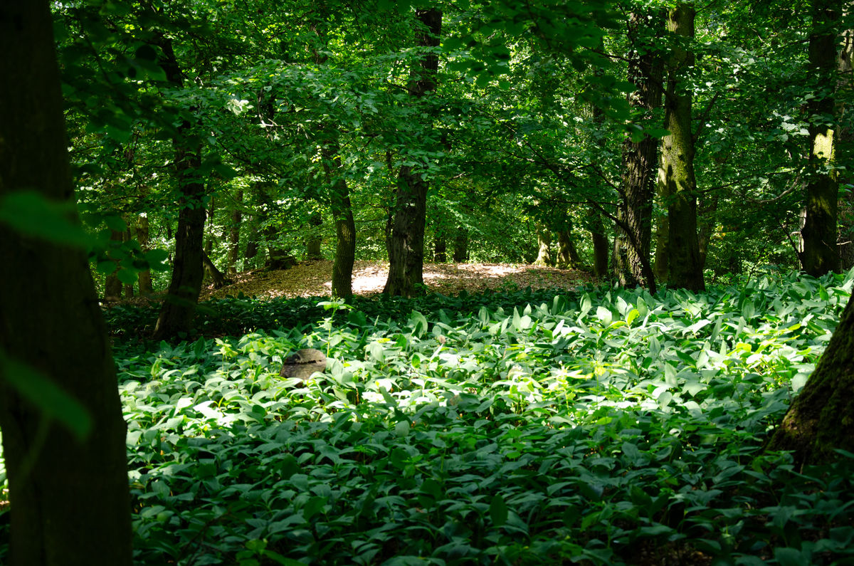
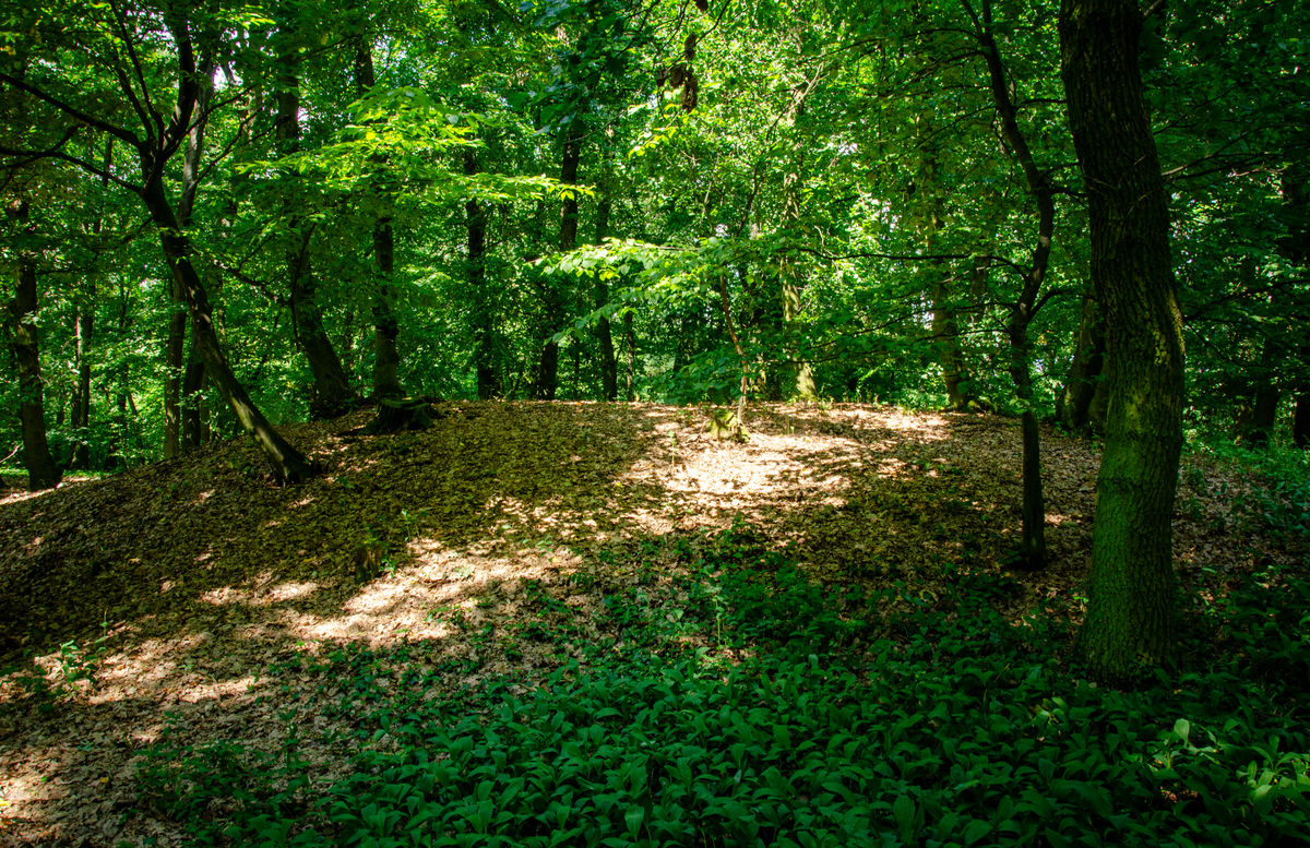
One of the few surviving Late Bronze Age barrow cemeteries in Central Bohemia (A) is situated north-east of Libodřice, in the floodplain forest at a location known as ‘Háj’. The cemetery, comprising approximately 25 barrows, remains clearly visible in the landscape. The mounds stand up to 1.5 m high and measure between 5 and 15 m in diameter.
The barrows were first investigated in the 1930s by the archaeologist František Dvořák and a local teacher Mr Batelka. The people of the Lusatian culture buried their dead in graves reinforced with stone mounds and stone rings. The Lusatian culture, which dates to the Late and Final Bronze Age, is characterised by cremation burials in urns, most commonly in extensive flat cemeteries with shallow grave pits. This burial rite gave its name to the wider cultural complex known as the Urnfield cultures. Burial beneath a mound is unusual within this culture and is more characteristic of its earlier phase. The presence of the Lusatian culture south of the River Elbe is also exceptional.
The grave goods were relatively modest: the cremation burials generally contained only a pottery vessel with burnt bones. The barrow cemetery originally covered a larger area. In 1957, further Lusatian pottery vessels were ploughed up at the nearby location known as ‘Za hájem’, suggesting that the cemetery extended into this area.
The barrow cemetery was entered in the Central List of Immovable Cultural Monuments of the Czech Republic in 1958 and designated an archaeological heritage site in 1966.
Approximately 1 km south of the barrow cemetery, a settlement dating predominantly to the La Tène period is known (B). Finds dating to the Late Bronze Age have also been recovered there, but these are associated with the Knovíz culture rather than the Lusatian culture. A similar context has been documented at two settlements south of Polní Voděrady (C–D). The settlement of the people buried in the Libodřice barrow cemetery has therefore yet to be discovered.
References: Dvořák 1936; Borkovský 1946; Hrala 1957; Hrala 1959.
Navigation point: N 50°0'20.79", E 15°5'29.39" (near the cross).

Map notes: A – Bronze Age barrow cemetery; B – multi-period settlement: Eneolithic, Bronze Age, Hallstatt period and La Tène period; C – settlement and burial ground: Bronze Age and Early Middle Ages; D – multi-period settlement: Neolithic, Bronze Age, Hallstatt period and La Tène period. Map symbols are available in the Downloads section.


Selected fulltext articles and reports for further reading. Complete bibliographical records are available in the Downloads section as the List of publications.
Borkovský, I. 1946: Libodřice – „Háj“, okr. Kolín. Dokument C-TX-194606478. Archeologický ústav AV ČR, Praha, v. v. i. Dostupné z: Digitální archiv AMČR https://doi.org/10.60585/C-TX-194606478Hrala, J. 1957: Libodřice – „Za hájem“, okr. Kolín. Dokument C-TX-195704629. Archeologický ústav AV ČR, Praha, v. v. i. Dostupné z: Digitální archiv AMČR https://doi.org/10.60585/C-TX-195704629