Krhov, Blansko District, South Moravian Region
Prehistoric hillfort Malý Chlum
(3100–2800 BC, 9th century BC, 6th century BC)

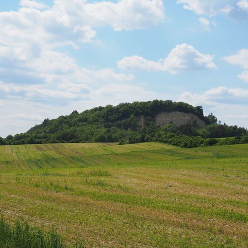
View of Malý Chlum from the southeast. The quarry, which removed part of the site, is visible on the eastern side of the hill.
Photo by M. Novák (Museum of Blansko), 2025.
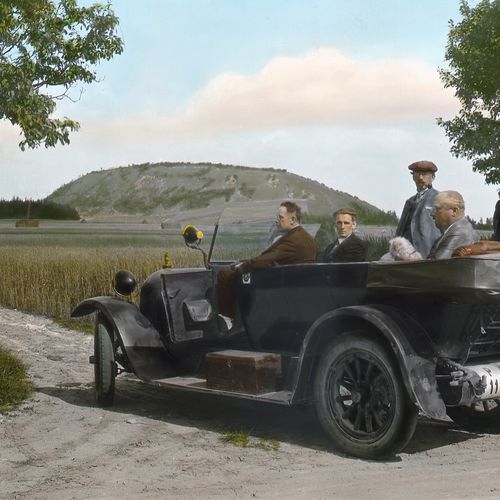
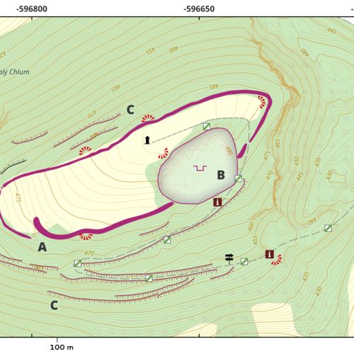
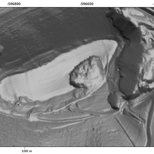
The fortified hilltop settlement is situated on the Malý Chlum Hill, a prominent landmark in the southern part of the Malá Haná region. It has an elongated oval shape, covering an area of approximately 1.5 hectares. The remains of the original fortifications are most clearly visible in the form of ramparts on the southeast and east sides, above the edge of the quarry, where much of the eastern slope of the hill was removed during the 1950s and 1960s. The access route to the site follows the same path as it did in prehistoric times, running along the gently sloping southern side, where remnants of presumably more recent terrain features can still be seen. However, the original entrance was located in the southwestern part of the hill, where the defensive ramparts likely overlapped, creating a pincer-shaped gate.
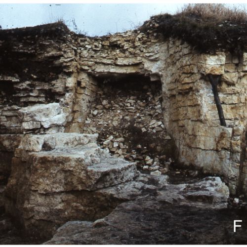
Excavations conducted by Antonín Štrof in the 1980s revealed evidence of multi-phase occupation. The earliest sporadic finds are most likely from the Late Eneolithic, possibly associated with the Jevišovice culture (around 3000 BC), whose people also settled at the nearby Hradisko near Svitávka. The peak of occupation occurred during the Late Bronze Age (9th century BC) when the site served as a central place for the surrounding lowland settlements and was fortified with a stone-and-clay rampart or wall. A second significant phase of occupation dates to the Early Iron Age (first half of the 6th century BC). At the foot of Chlum hill (within the cadastral area of Obora), a contemporary settlement was found, where excavations in the 1970s revealed evidence of bronze-working and the processing of local iron ore. Therefore, the hilltop site may have functioned as a central location offering protection during times of danger, as well as a place for the redistribution of trade goods. Its strategic position on one of the branches of the Amber Road, alongside the lowland settlements at its base, would support this hypothesis.
References: Novák 2015; Smrž 1975; Smrž – Štrof 1973; Štrof 1984; Štrof 1985a; Štrof 1985b.
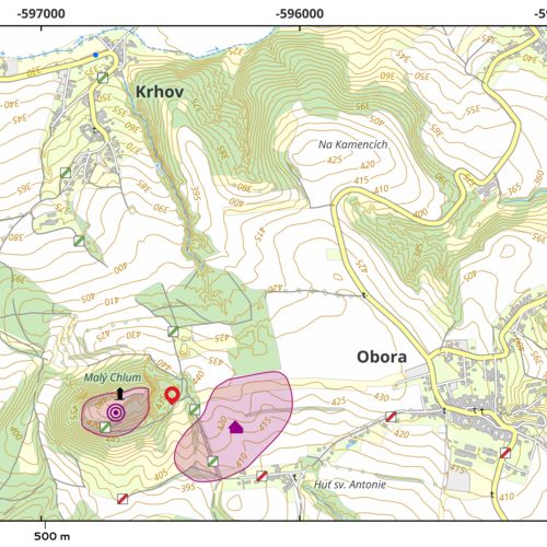
Navigation point: N 49°27'4.93", E 16°35'19.33" (tourist shelter).
Map notes: A – probable original entrance to the hillfort (pincer-shaped gate); B – former quarry; C – artificial terrain features and terraces. Map symbols are available in the Downloads section.
Selected fulltext articles and reports for further reading. Complete bibliographical records are available in the Downloads section as the List of publications.
Štrof, A. 1984: Příspěvek k poznání hradisk v Boskovické brázdě, Přehled výzkumů 1982, 82–85. Štrof, A. 1985b: Výzkum Malého Chlumu mezi Krhovem a oborou (okr. Blansko) v roce 1983, Přehled výzkumů 1983, 34.