Čistá u Rovné, Sokolov dist., Karlovy Vary Region
Mining complex ‘Jeroným’ and the town of ‘Lauterbach‘
(14th–20th cent.)

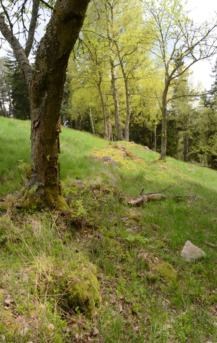
Pond with a transverse dam.
Photo Z. Kačerová, 2013.
A complex comprised of ‘Jeroným’ (Hieronymus) mine and the former town of ‘Lauterbach‘ in the Slavkov Forest area. Tin was extracted here from around the 14th century up to the 20th century, with the greatest intensity of mining between the 15th and 17th centuries. Remaining today are collapsing adits and corridors, goldwashing spoil heaps and ore processing areas, including ponds and mills with millraces. The mining town of ‘Lauterbach’ was definitively abandoned with the expulsion of the German population after the Second World War; the land was subsequently incorporated into a military area. The former town was levelled in the 1950s during military manoeuvres.
References: Majer 1970; Beran a kol. 1996; Hlušičková a kol. 2002; Jaša 2007; Kukutsch – Stolárik 2008; Kaláb – Lednická 2009; Tomíček 2011, 2012; www_Čistá u Rovné.
Navigation points: N 50°06'05.04", E 12°42'42.87"; N 50°06'09.89", E 12°42'10.07"; N 50°05'58.19", E 12°43'43.36" (Lauterbach).


Map notes: A – tin-washing spoil heaps; B – ‘Jeroným’ mine; C – system of ponds and canals; D – probable ore processing facility remains; E – deserted mill on the Lobezský Stream; F – millrace remains; G – field boundaries and lynchets; H – building remains; I – water-retaining earthwork; J–K – modern infantry foxholes and holes for heavy military equipment; L – former town of Lauterbach; M – hollow ways; N – adit entrance; O – pond divided by dam. Map symbols are available in the Downloads section.


Selected fulltext articles and reports for further reading. Complete bibliographical records are available in the Downloads section as the List of publications.
Archeologický atlas Čech – Čistá u RovnéKukutsch, R. – Stolárik, M. 2008: Povrchové útvary na lokalitě Čistá, důl Jeroným po ukončení báňské činnosti. Hornická Příbram ve vědě a technice – texty přednášek [online].Tomíček, R. 2011: Nástin historického vývoje – Důl Jeroným v Čisté. Hornická Příbram ve vědě a technice – texty přednášek [online].Tomíček, R. 2012: Tři drobná historická důlní díla u Dolu Jeroným v Čisté – štola sv. Prokopa, štola sv. Barbory a rýžoviště na Cínovém potoce. Hornická Příbram ve vědě a technice – texty přednášek [online].