Chlístovice, Kutná Hora dist., Central Bohemian Region
Medieval castle ‘Sion’ and the adjacent siege camps
(15th cent.)
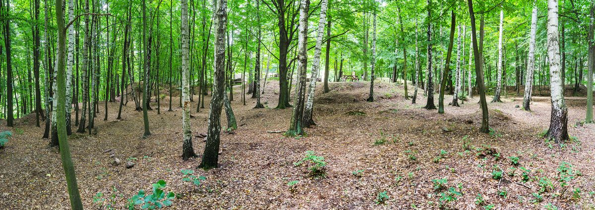
Bailey of the Sion Castle, taken from northeast.
Photo Z. Kačerová, 2014.
Ruins of medieval ‘Sion’ Castle feature a bailey and remains of a siege camp. The castle was probably built in the 1430s as the residence of one of the Hussite leaders, Jan Roháč of Dubá, and in response to his rebellious activity was seized by Emperor Sigismund in 1437. The siege left distinct traces to the north and south of the castle in the form of field fortifications and catapult positions.
References: Janská 1963, 1965; Sedláček 1997b; Durdík – Sušický 2000; Durdík 2009; Koscelník a kol. 2013; Sýkora 2013.
Navigation points: N 49°53'20.08", E 15°12'45.44" (vstup do hradu); N 49°53'35.97", E 15°12'46.61".


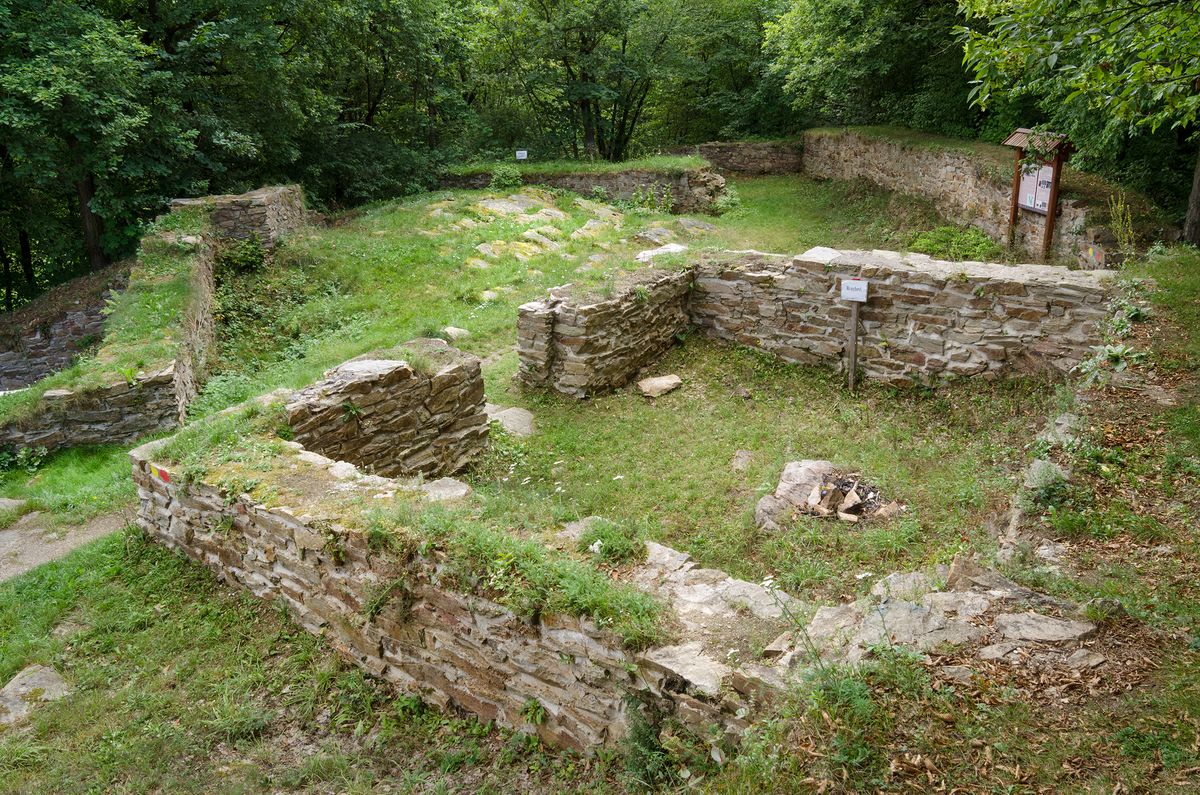


Map notes: A – castle; B – bailey; C – siege camp; D – neck ditch between the castle and bailey; E – built-up area of castle; F – gate; G – remains of a timbered structure built on stone foundation; H – palace; I – castle kitchen; J – another residential building?; K – Church of St Andrew; L–N – bastions; O – platform outside of the castle, later attached by fortifications; P – ravine with access to stream; Q – pond; R – bailey fortifications; S – bastion formation; T – relief edge enclosing the northern part of the ditch; U – remains of structures within the bailey; V – remains of production structures; W – one of the siege camp areas demarcated by a ditch and a bank; X – command station or catapult position; Y – catapult firing position and remains of dwellings and operational buildings; Z – additional siege camp structures (e.g. ‘wolf pits’). Map symbols are available in the Downloads section.


Selected fulltext articles and reports for further reading. Complete bibliographical records are available in the Downloads section as the List of publications.
Archeologický atlas Čech – ChlístoviceJánská, E. 1963: Archeologický výzkum hradu Sión, Archeologické rozhledy 15, 220–247.Koscelník, P. 2013: Využití lidarových dat v archeologii konfliktu středověku: obléhací práce z 15. století. In: M. Gojda – J. John a kol., Archeologie a letecké laserové skenování krajiny, Plzeň: Katedra archeologie FF ZČU, 190–199.