Vesec u Sobotky, Jičín dist., Hradec Králové Region
Prehistoric and Early Medieval hillfort ‘Poráň’, prehistoric ritual cave
(300 BC – 0; 8th–9th cent.)

Bank and a moat on the hillfort's eastern side.
Photo J. Marounek, 2012.
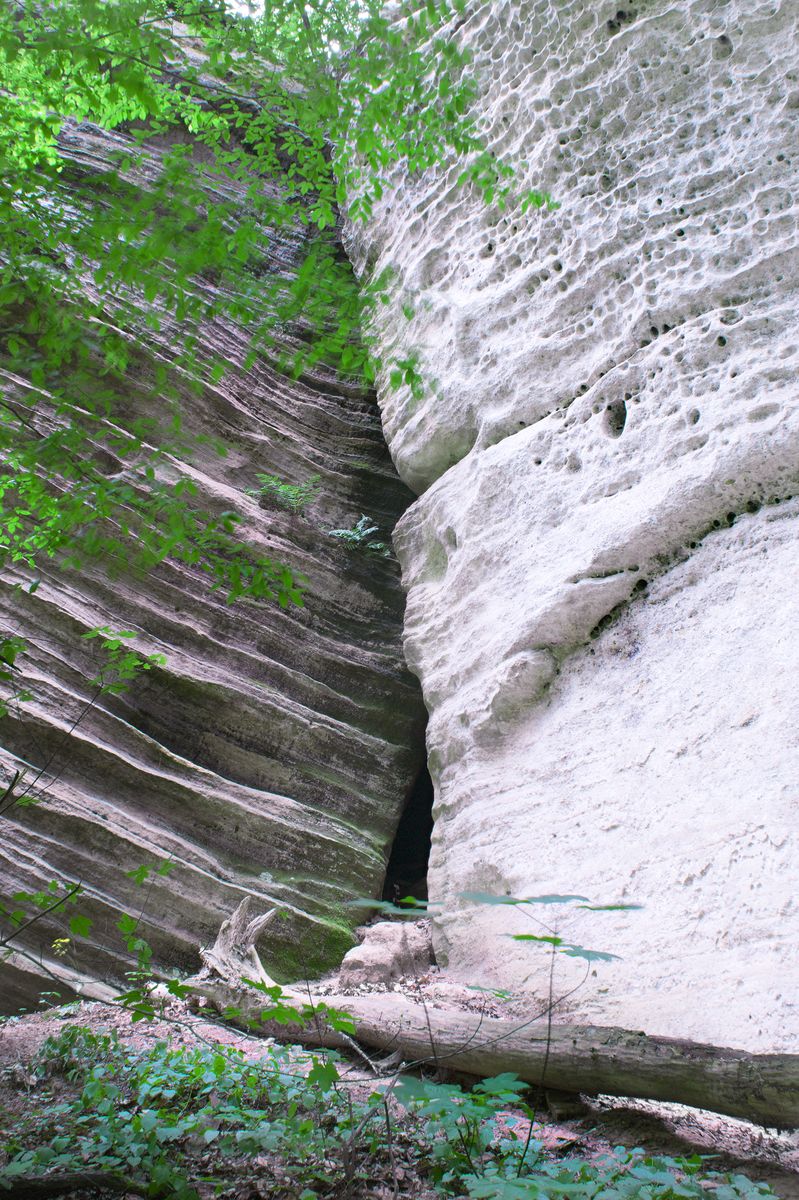
The ‘Poráň’ hillfort is located in the picturesque landscape of ‘Český ráj’ (‘Bohemian Paradise’). The hillfort was occupied in the Bronze Age but its visible fortifications were probably built between the 8th and 9th centuries, when the site represented one of the regional centres. Visible to this day to the east of the hillfort is a ploughed up bank and a ditch outside of it. Behind them, two more ditches are visible in aerial photographs. The hillfort´s other sides are protected by steep cliffs of a sandstone gorge. Crevices among some of the cliffs (no. 13 furnished with steps cut in the rock) made it possible to move unobserved between the valley and the summit. On the north cliff, the ‘Knobloch-Skála’ Cave was recently discovered with finds of La Tène Period vessels and charcoal. This site may be interpreted as a prehistoric ritual location.
References: Waldhauser 2006, 2012a.
Navigation points: N 50°28'47.21", E 15°07'41.88" (approach to the crevice leading up to the hillfort); N 50°28'47.83", E 15°08'02.73" (entrance to the hillfort from the east).


Map notes: A – bank of the hillfort; B–D – ditches (only B is visible as a low relief wave, others just as crop marks in aerial photographs); E – probable entrance to the hillfort; 1–19 – crevices in the sandstone cliffs. Map symbols are available in the Downloads section.


Selected fulltext articles and reports for further reading. Complete bibliographical records are available in the Downloads section as the List of publications.
Archeologický atlas Čech – Vesec u Sobotky