Třebel and surroundings, Tábor dist., South Bohemian Region
Battlefield of Třebel
(1647)

Reconstruction of a redoubt near Olbramov.
Photo Z. Kačerová, 2014.
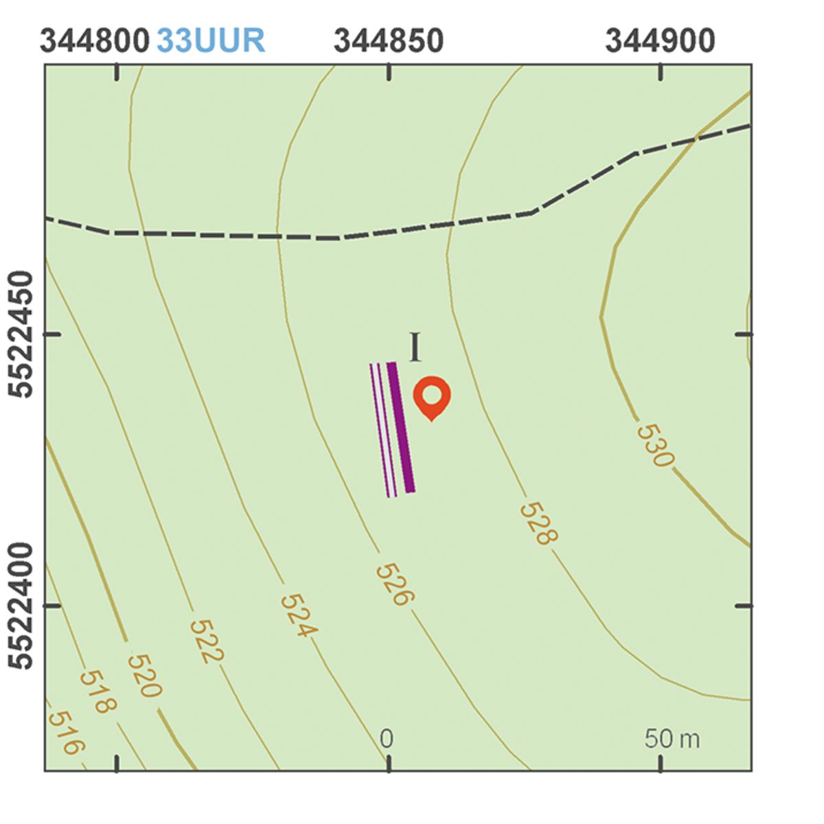
The surrounding area of the Třebel Castle became the stage of a battle between the Swedish and Austrian Imperial armies in 1647. Although the attack of the Imperial forces on the Swedes, who had previously taken Třebel Castle, was not as successful as anticipated, two weeks later the Swedish army left the country, their campaign ending in absolute failure. Contemporary written sources and vedutes provide a wealth of information on the appearance of field camps in the Thirty Years’ War. The remains of the Imperial redoubt and artillery positions, the Swedish camp and other field fortifications are distributed over an area of 50 km2 around Třebel. One of the redoubts was also reconstructed.
References: Rožmberský 1992; Matoušek 2006.
Navigation points: N 49°50'35.80", E 12°51'27.85" (E); N 49°50'03.28", E 12°50'33.23" (I); N 49°49'09.57", E 12°50'19.91" (B); N 49°49'17.78", E 12°49'55.26" (A); N 49°49'51.76", E 12°47'43.38" (F); N 49°50'32.85", E 12°48'00.28" (H); N 49°50'43.30", E 12°47'30.81" (G); N 49°51'07.94", E 12°48'21.98" (C); N 49°51'17.40", E 12°49'06.83" (D).


Map notes: A – Imperial redoubt; B – Třebel Castle; C–D – Swedish redoubts; E – reconstruction of a redoubt; F – southeast corner of a Swedish base camp; G – ditch and bank demarcating the Swedish camp; H – location of a Swedish artillery battery; I – bank protecting an Imperial artillery battery. Map symbols are available in the Downloads section.


Selected fulltext articles and reports for further reading. Complete bibliographical records are available in the Downloads section as the List of publications.
Archeologický atlas Čech – Třebel a okolíKuna, M. a kol. 2004: Nedestruktivní archeologie. Teorie, metody a cíle.