Osvětimany, Uherské Hradiště dist., Zlín Region
Hillfort and Church of Saint Clement
(9th–11th century, 14th century)
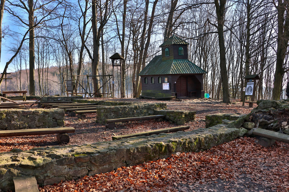
The current state of the reconstruction of St Clement’s Church foundations.
Photo B. Žižlavský.
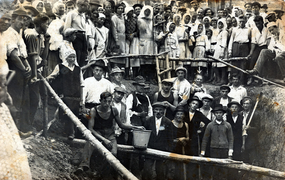
On the southern promontory of the Chřiby Hills lies the early medieval site known as the Saint Clement Hillfort. The area, covering up to 22 hectares, was fortified with a double (in places even triple) fortification accompanied by deep ditches. Scattered finds from the Urnfield period of the Late to Final Bronze Age suggest that the early medieval occupation may have utilised an older settlement. The inner rampart still reaches a height of 1.5 metres and a width of 9 metres. In the 9th century, it was reinforced with a stone front wall. The rampart encircled the acropolis, on the summit of which are the remains of the Church of St Clement. The dating of the church remains uncertain, as archaeological contexts have been repeatedly disturbed by amateur excavations carried out since the early 19th century. The site has long been associated with the mission of Cyril and Methodius, and the grave of Saint Methodius was once thought to be located here. One of the few finds of a Byzantine gold coin on Czech territory, a solidus of Emperor Theophilos (829–842), probably also originates from the site. Archaeological excavations were conducted in the 1950s (Vilém Hrubý), 1960s (Vladimír Ondruš), and in 1989 and 2001 (Luděk Galuška; all affiliated with the Moravian Museum in Brno). These confirmed that the site was occupied from the 9th to the 11th century. The hillfort was then abandoned until the 14th century, when Augustinian canons settled here and built a monastery. It was destroyed during the Hussite Wars, sometime between 1421 and 1431, although evidence of some continued use of the site is provided by the discovery of a bell cast in 1521, found in the former monastic well.
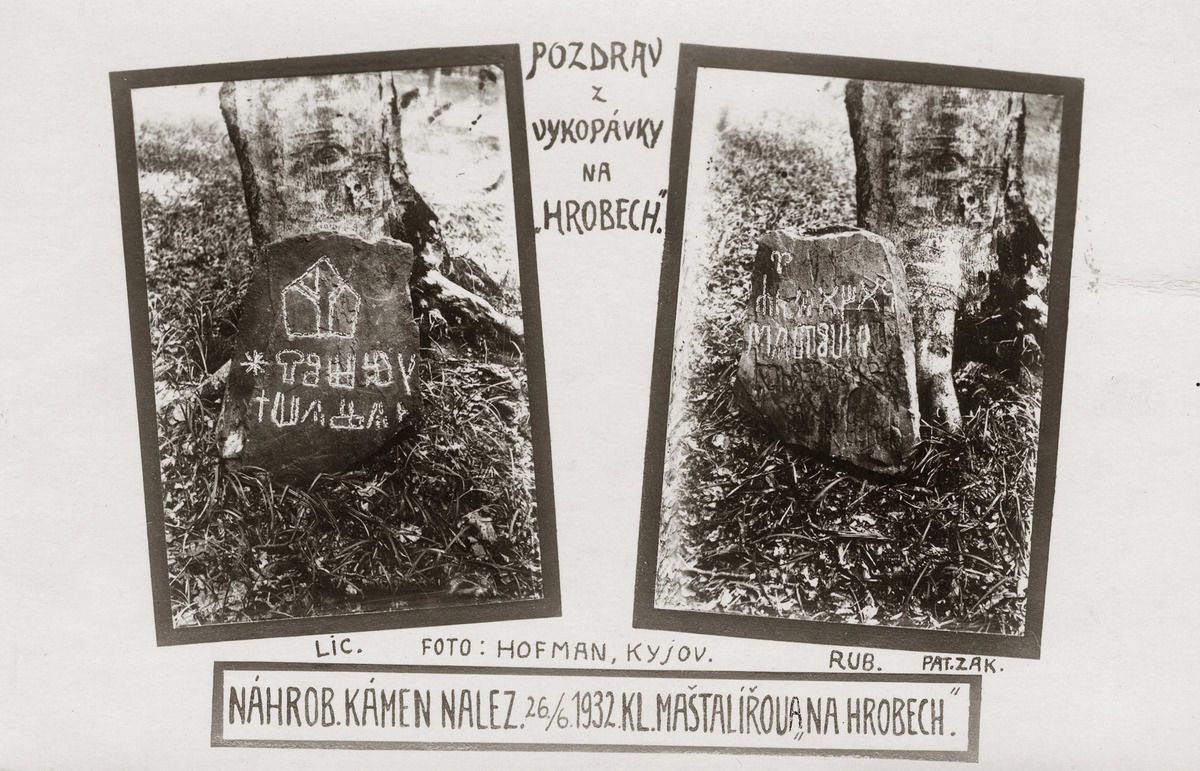
Of particular interest regarding the local Cyrillo-Methodian Tradition is the case of the so-called Stupava forgeries. In the 1930s, several stone slabs engraved with symbols imitating Glagolitic script were unearthed at a nearby site known as Hroby (in the cadastral area of Stupava). They were claimed to mark the grave of Saint Methodius. The discovery received considerable media attention and attracted large numbers of visitors. However, an expert commission soon declared the finds to be fakes.
Approximately 2 km north of the hillfort (as the crow flies) stands Cimburk Castle. It was the Moravian margrave John Henry, lord of Cimburk, who in 1358 donated the Church of St Clement to the Augustinians of Brno. South of the hillfort, near the present-day village of Vřesovice, lie the remains of several deserted medieval villages, probably from the 14th century, along with a fortified hilltop settlement from the Late Hillfort Period (11th–12th century). West of the hillfort, several well-preserved Middle Bronze Age barrows have also been recorded.
References: Hrubý 1959, 1965; Ondruš 1965; Zacherle 1987; Galuška 1993; Menoušková 2001; Baščan et al. 2005; Dvořák 2010; Menoušková 2014.
Navigation points: N 49°5'13.20", E 17°13'8.79" (trail junction and rest area).

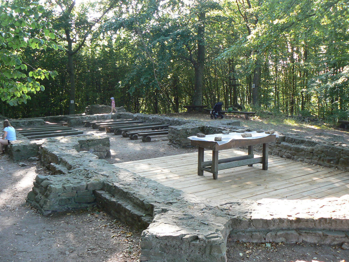
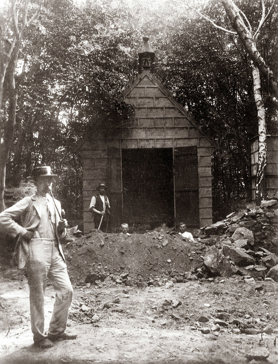
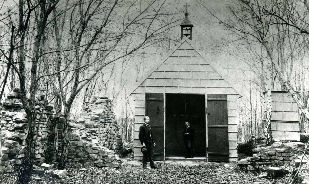
Map notes: A – Church of St Clement; B – main (inner) fortification; C – outer fortification; D – probable main entrance to the hillfort; access map: E – Cimburk Castle; F – Middle Bronze Age barrows; G – deserted medieval village of Lněník; H – deserted medieval village of Jenišovice; I – fortified hillfort from the 11th–12th century. Map symbols are available in the Downloads section.


Selected fulltext articles and reports for further reading. Complete bibliographical records are available in the Downloads section as the List of publications.
Galuška, L. 1993: Archeologický výzkum na slovanském hradišti sv. Klimenta u Osvětiman v roce 1989. Přehled výzkumů 1989, 73–74.