Týn nad Bečvou, Přerov District, Olomouc Region
Helfštýn Castle
(14th–2nd half of the 18th cent.)

View from the west of a protruding peak of the Maleník Massif, on which Helfštýn Castle was built. The image illustrates the difference in altitude between the high plain of the castle hill and the levelled surface of the Bečva Gate. Krásnice Hill can be seen on the right of Helfštýn.
Photo Z. Schenk, 2011.
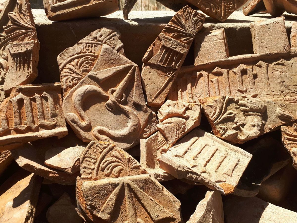
The monumental castle at Helfštýn is situated on a mountain ridge at the entrance to the narrowest part of the Moravian Gate. It was founded at the beginning of the 14th century by Friduš of Linava and was enlarged by the Lords of Kravaře sometime around 1400. Since the last quarter of the 15th century, when the castle was owned by the Pernštejn (Pernstein) family, it was rebuilt in the Gothic style. The last family seated there were the Bruntáls of Vrbno, under which a vast Renaissance Palace was finished. The whole complex consists of a number of service buildings and fortifications (five gates, a number of bastions, towers and a vast system of inner and outer fortifications) and ranks among the largest castle complexes in Europe. Archaeological excavations in the castle area have yielded a large number of artefacts, which are presented in the permanent “Archaeology at Helfštýn Castle” exhibition.
References: Kohoutek 1997; Plaček 1996; 2001; Schenk – Mikulík 2017.
Navigation point: N 49°31'01.2", E 17°37'45.0".


Map notes: 1 – shield wall, referred to as “broad”; 2 – first courtyard; 3 – second courtyard; 4 – ditch with walled slopes, today called “boulevard”; 5 – corridor between the third and fourth gate; 6 – area of the outer castle, today called “kennel”; 7 – third courtyard; 8 – original service building for the castle, today called “bakery”; 9 – fourth courtyard; 10 – massive artillery bastion, today called “dungeon”; 11 – one of the bastions of the outer fortification built from earth and wood in the 17th century; I–V – individual gates. Map symbols are available in the Downloads section.


Selected fulltext articles and reports for further reading. Complete bibliographical records are available in the Downloads section as the List of publications.
Schenk, Z. 2017: Týn nad Bečvou. Dějiny a současnost obce. Týn nad Bečvou.